Canada's Open Data Gateways
These portals are the primary access points for Canada's open geospatial information — from comprehensive federal datasets to specialized mapping and download tools.

GEO.ca
The definitive gateway for Canada's open geospatial information. Aggregates over 100,000 datasets — including land, water, and infrastructure — from federal, provincial, and territorial sources.
Visit Site
Toporama
A dynamic mapping tool by the Atlas of Canada that allows you to view topographic data — relief, drainage, and roads — at national, regional, and local scales.
Visit Site
GeoGratis
A portal specifically for downloading free geospatial data, including satellite imagery, National Topographic System (NTS) maps, and prepackaged elevation datasets.
Visit Site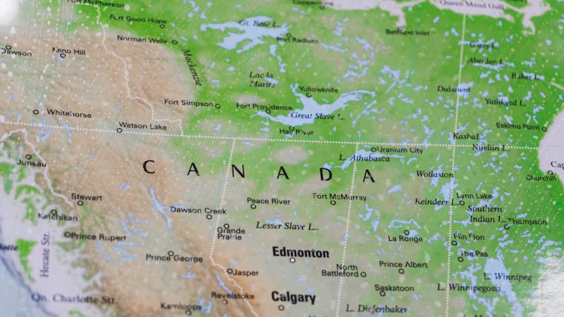
The Atlas of Canada
Focuses on the country's environment, society, and economy, offering thematic maps on subjects like minerals, energy, and land cover.
Visit Site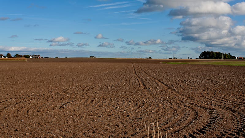
Canadian Soil Information Service
The national archive for soil and land resource information, providing datasets on ecological groupings and soil properties across Canada.
Visit Site
ClimateData.ca
Provides historical and projected climate data visualizations for any location in Canada to help with environmental planning and risk assessment.
Visit Site