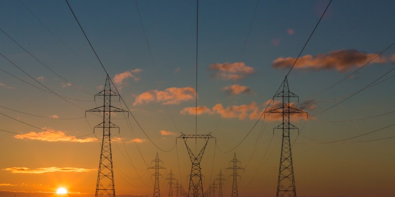
Power Generation & Distribution Networks
These platforms map the global generation and distribution networks that power modern civilization. Understanding energy infrastructure is critical for assessing manufacturing viability, supply chain resilience, and operational costs in target markets.
OpenGridWorks
A global dashboard for power plants and transmission lines using community and official data.
Visit Site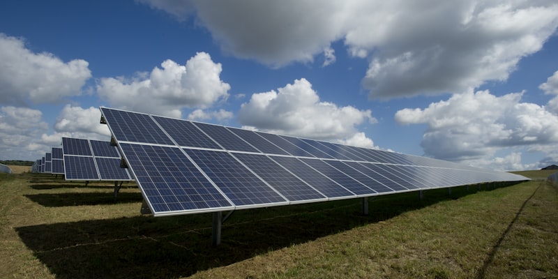
Open Infrastructure Map
A map-based visualization of global energy, telecom, and pipeline infrastructure sourced from OpenStreetMap.
Visit Site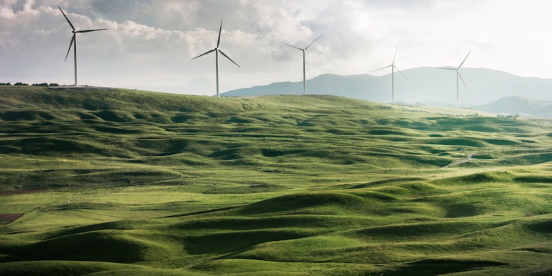
Open Power System Data
A high-quality portal for European energy time-series and power plant data used in academic and policy research.
Visit Site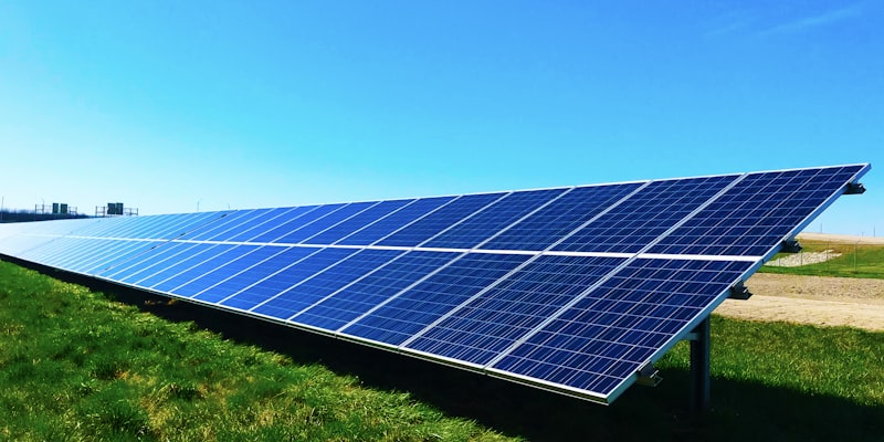
Renewables.ninja
A simulation tool for wind and solar power output based on global weather data, useful for renewable energy feasibility.
Visit Site
PUDL Project
An open-source tool that cleans and standardizes messy U.S. utility data for public research and analysis.
Visit Site